
OsmAnd, Wikiloc, Guru Maps, HOROTAG. How to navigate off-road and keep a record of every ride.
Sommaire · 6 parties
Navigating off-road raises a problem the road never does: trails are not always on the map, signal disappears in valleys, and the phone acting as your GPS is also the one that still needs to work at the end of the day if things go wrong.
01The enduro GPS apps
| App | Price | Offline | GPX tracks | OS |
|---|---|---|---|---|
| OsmAnd | Free / €10 | Yes | Import/Export | Android + iOS |
| Wikiloc | €10/year | Yes | Community | Android + iOS |
| Guru Maps | €15 | Yes | Import | Android + iOS |
| Gaia GPS | €40/year | Yes | Very complete | Android + iOS |
| HOROTAG GPS / ULTIMATE GPS | Included | Automatic | Automatic, server side | HOROTAG app |
The column that really matters is offline. An app that downloads its map tiles on demand turns into a grey screen the moment 4G drops, which is exactly where you need it. All of the ones listed here let you download areas in advance. That is a job for the evening before, not for the car park at the trailhead.
Wikiloc brings the community library: tens of thousands of tracks posted by other riders, with comments on the real state of the trails. OsmAnd is the most capable of the free options and the most austere. Gaia GPS aims at long-distance planning, and the price follows.
02Building a GPX track
1. Open Google My Maps or OpenRouteService 2. Draw the route point by point 3. Export as .gpx 4. Import into your GPS app
Two settings make the difference in use. Recording interval first: a point every second produces a huge file and a jagged line, while a point every five to ten seconds is plenty to find a trail again. Direction of travel second: a track imported backwards is very hard to follow on the ground, and many apps will not reverse it once loaded.
Mark your exit points too: junctions with tarmac, villages, fuel stations. On a trail ride the question is not only where to go, it is where to bail out cleanly if the machine or the rider gives up.
03What navigation costs your phone
A phone showing a map continuously, screen on and GPS active, drains its battery in three to five hours. On a full day out, that means navigation dies mid-afternoon, and often the phone with it.
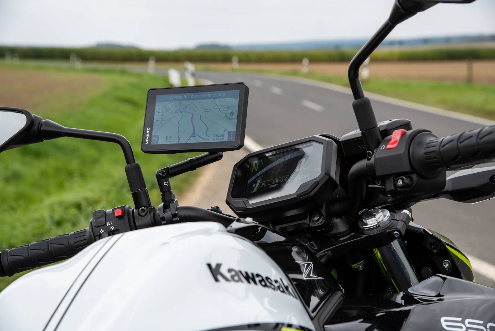
Three habits fix most of it: download the maps offline so mobile data stays off, switch to airplane mode with GPS left on, and only wake the screen at junctions rather than leaving it running. A powered mount solves the problem on a well-equipped adventure bike, far less so on an enduro with no outlet.
04HOROTAG versus a phone app
With HOROTAG GPS or ULTIMATE GPS, the track is recorded by the device itself. There is no app to launch and no need to carry the phone at all. The ride shows up afterwards in the app with distance, average speed and duration.
The split of roles matters. The device displays nothing and guides nobody. It does not replace a navigation app, it replaces having to remember. The app tells you where to go during the ride; the tracker tells you where you went afterwards, and where the bike is if it leaves without its rider.
That second function is the one that counts on a trail ride: an enduro bike loaded onto a trailer at midday while the group has lunch is the most ordinary theft scenario in off-road riding.
05Planning a ride, in order
1. Download the area offline, with a wide margin around the route 2. Load the track and scroll through it on screen before leaving 3. Identify two or three road exits 4. Check that the trails you plan to use are legally open 5. Tell someone your route and your expected return time
Point four is not a formality. Riding off public rights of way is an offence in France, and a community track is not a right of passage.
06And engine hours
A full day of trail riding can mean six to eight engine hours for a modest distance. That is exactly the case where counting in hours tells the truth about wear, and counting in kilometres hides it.
A tracker and anti-theft for every rider: that is HOROTAG GPS.
A position every 8 h when parked and every 30 min on the move, passive anti-theft, a full maintenance logbook. Hours are estimated from the length of your rides, with no mileage. €299, 10-year 4G IoT SIM included, no subscription.
See HOROTAG GPS